
A circuit of valleys, a pass and a ridge
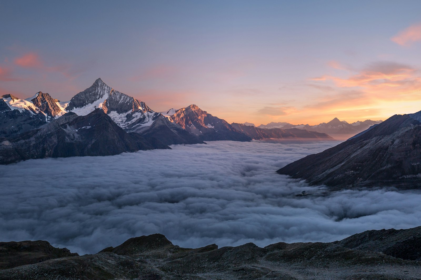
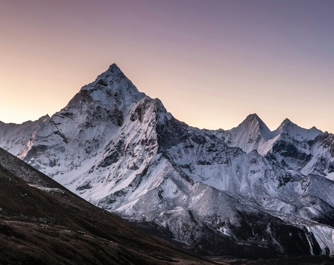
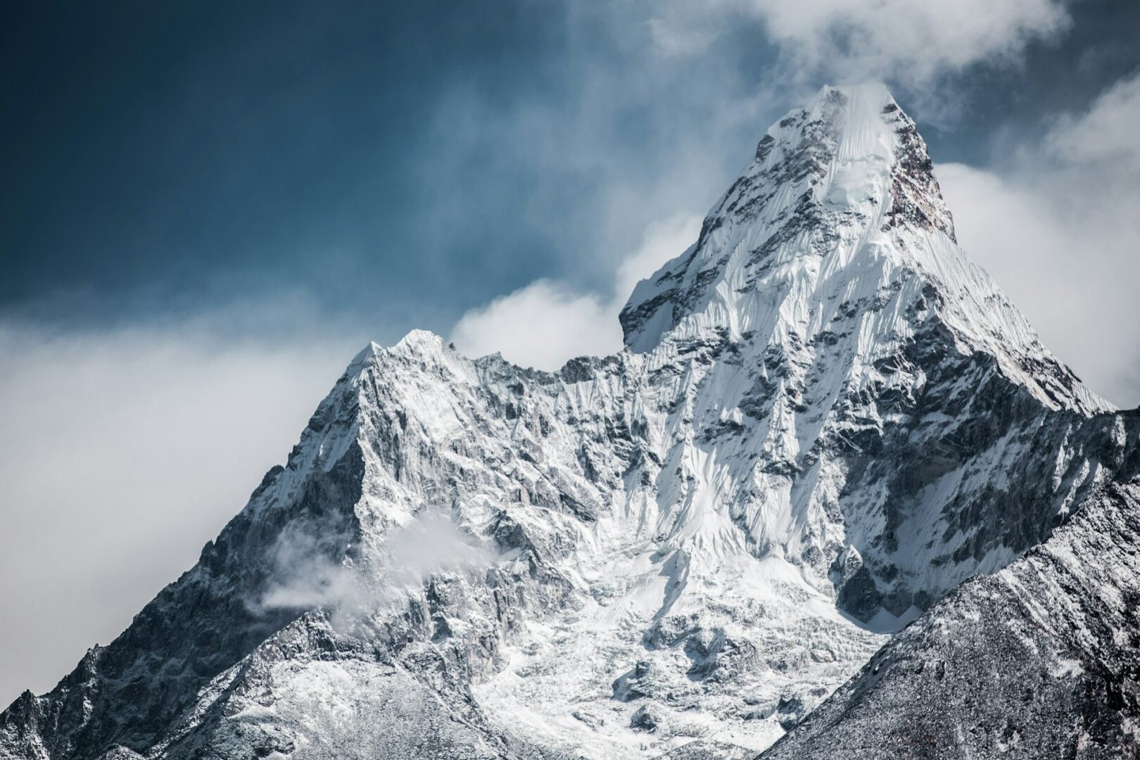
The Annapurna Circuit loops around the Annapurna Massif entirely within the Annapurna Conservation Area. Our version drives to Chame, walks up the Marshyangdi valley to Manang, crosses Thorong La, and then drops by road to Tatopani. From there it turns back into the hills over the Ghorepani ridge to Ghandruk. A short drive takes the group to Pokhara, and a flight returns to Kathmandu. The route changes character several times: terraced farmland and forest at the lower end, dry, Tibetan-influenced country around Manang, and a high pass at the centre. It suits travellers who want depth rather than a short highlights trip. They should also be content to spend most of 17 days in simple lodging, with early starts and some long walking days. Mountains such as Annapurna I and Dhaulagiri lie around the route, though what you see on any day depends on weather.
The route, section by section
The trip opens in Kathmandu, with a day of sightseeing and kit preparation. A long drive follows, along the Trishuli river and up to Chame. Walking begins in earnest here, through dense forest and below the great rock face of Paungda Danda, then on through Pisang, Ghyaru and Ngawal to Manang. After the rest day, the trail climbs through Yak Kharka to Thorong Phedi, the last village before the pass, and crosses Thorong La to Muktinath. A private 4WD vehicle then descends to Tatopani and its hot springs. The walk resumes up the Ghar Khola valley, through terraced farmland and rhododendron forest to Ghorepani, over a ridge and down to the Gurung village of Ghandruk. A drive brings the group to Pokhara, with a half-day of sightseeing, before the flight back to Kathmandu and a farewell dinner.
People and places along the way
Lower valleys here reflect Hindu traditions, while higher villages show Tibetan Buddhist influence in their monasteries, prayer flags, mani walls and chortens. The route passes through communities including Gurung, Magar, Thakali and Tibetan-influenced villages, each with its own architecture and customs, shaped over centuries by trade routes. Ngawal has a monastery at the centre of the village, and Ghandruk is a hillside settlement of stone houses mostly inhabited by Gurung people. Muktinath is sacred to both Hindu and Buddhist pilgrims. Wildlife along the way includes Himalayan birds, yaks and, occasionally, blue sheep. Guides offer cultural and environmental interpretation, so the landscape is explained as a living one. Visitors are asked to dress appropriately and behave respectfully at religious sites.
Pace, altitude and effort
This is a demanding trek, and we describe it that way. Sleeping elevations climb in stages: Chame at 2,710 m, Pisang at 3,300 m, Ngawal at 3,650 m and Manang at 3,519 m, where you spend two nights. After Manang come Yak Kharka at 4,110 m and Thorong Phedi at 4,600 m, the highest verified sleeping point. The pass day begins around three in the morning, takes 8–9 hours on foot and reaches 5,416 m. Altitude sickness is a genuine consideration above 5,000 m, with symptoms including headache, nausea, dizziness, fatigue and sleep disturbance. The Manang rest day offers short hikes, and the Himalayan Rescue Association post at Vraga can be visited for information on altitude sickness. Guides monitor health daily and emphasise hydration, nutrition and pacing.
Where you sleep and what you eat
In Kathmandu you stay at the Radisson or the Kathmandu Marriott, with breakfast included; the farewell dinner on the final evening is hosted by The Himalayan Guides. In Pokhara you stay at Hotel Barahi or a similar hotel. On the trek you sleep in teahouses throughout. These are simple trail lodges, and we do not describe them as anything more. Breakfast, lunch and dinner are included on the trek. Walkers are encouraged to carry refillable water bottles, and supporting local teahouses is part of how the trek benefits mountain communities. Dinner in Kathmandu is not included.
When to go
Spring (March to May) brings mild temperatures, stable weather and blooming forests, and is excellent for trekking. Autumn (September to November) has dry, clear skies and cool nights, and is the other main season. In spring, daytime temperatures run from 12°C to 20°C in lower areas and 5°C to 10°C higher up, with cool nights near Manang and Thorong Phedi. Winter (December to February) is cold, with snowfall at the high passes, and suits experienced trekkers. The monsoon (June to August) brings heavy rain at lower elevations, and the trek is generally not recommended then. Weather can affect roads, flights and the pass at any time of year.
Our approach
- Licensed, English-speaking guides, 1 guide for every 8 guests.
- Porters, 1 porter for every 2 guests.
- All required permits arranged on your behalf.
- Salary and insurance for all crew members.
- Daily health monitoring by guides, with an emphasis on hydration, nutrition and pacing.
- Cultural and environmental interpretation along the trail.
Local teahouses and local staff, so tourism income stays in the community