
The journey, seen from both sides
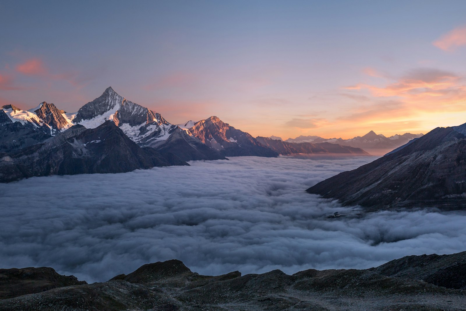
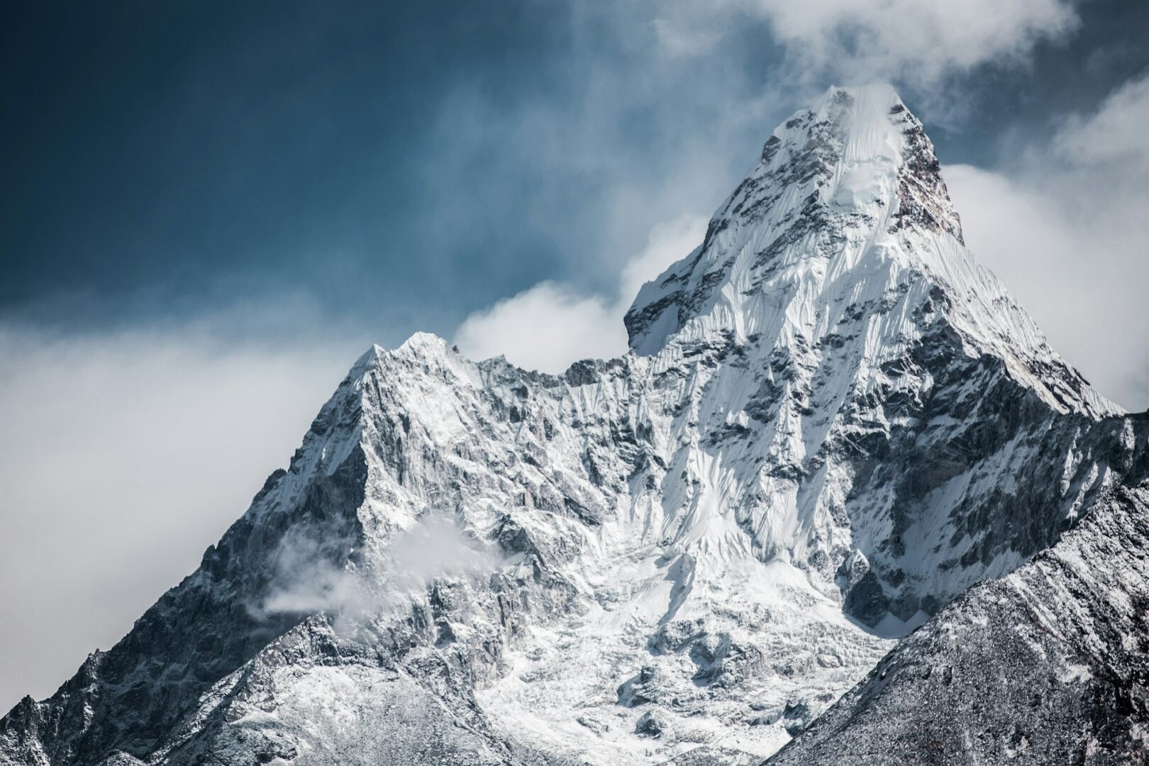
Kanchenjunga rewards patience. In the far east of Nepal, near the borders with India and Tibet, this circuit follows the Ghunsa Khola upstream to the glaciers on the mountain’s northern side, crosses high passes, then descends the Yalung Valley. The result is rare: Kanchenjunga (8,586 m / 28,169 ft) seen from both its north and south base camps, on a route that is quieter than Nepal’s best-known trails.
The route, from tea hills to the Yalung
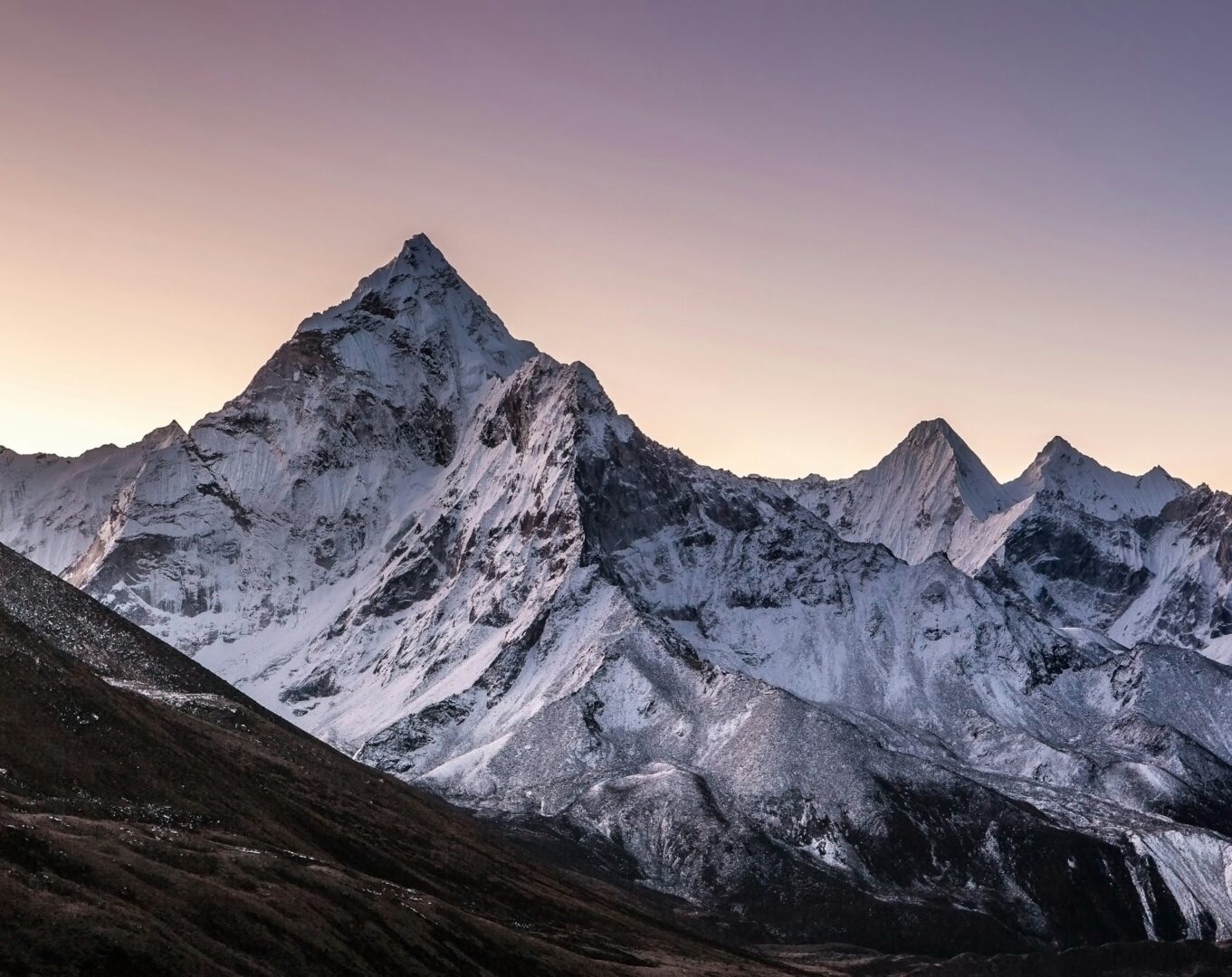
The trip begins and ends among the tea estates of Ilam and Kanyam, where rolling green hills and misty mornings set the scene. From Sekathum the trail climbs through bamboo, rhododendron and pine forest, passing waterfalls and suspension bridges, then opens into yak pastures and alpine terrain beyond Ghunsa. Around Kambachen, Jannu (7,710 m) rises as a wall of ice. At Lhonak, moraine and glacier take over, leading to Pangpema, the north base camp. A crossing of the high passes brings you into the Yalung Valley and to Ramche, the south base camp, before the long descent through forest to Rani Pul. The route lies within the Kanchenjunga Conservation Area, home to species such as snow leopard, red panda, Himalayan tahr and blue sheep, though sightings can never be expected.
The people who share this trail
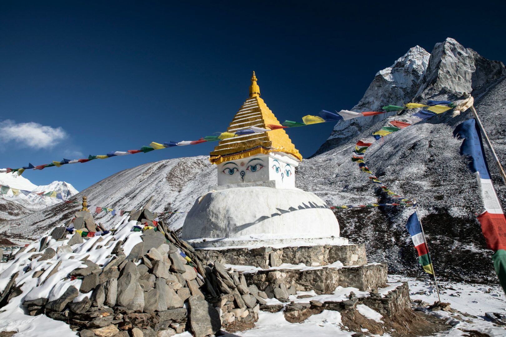
The lower hills are home to Limbu (Yakthung) and Rai (Khambu) communities, indigenous to eastern Nepal, where terraced fields, wooden houses with carved windows and woven dhaka cloth are part of daily life. Limbu culture is known for the Chyabrung dance and tongba, a millet drink. Around Amjilosa and Gyabla, Sherpa, Tibetan-Bhote and Limbu villages mix, and prayer flags, mani walls and small chortens begin to appear. Above Ghunsa, the Tibetan Buddhist Sherpa and Bhote communities live by yak herding and by farming buckwheat and potatoes, with a monastery at Ghunsa and prayer wheels along the way. Please visit as a guest: your guide will help with etiquette.
The pace, the altitude, the effort
This is a strenuous circuit. There are 12 walking days and 2 acclimatisation days with optional hikes, and listed walking times run from about 4 to 8 hours. The highest sleeping altitude is Lhonak at 4,785 m, and the hike to Pangpema reaches approximately 5,143 m. Altitude sickness is a genuine risk above 3,000 m, so the itinerary builds in acclimatisation at Ghunsa and Kambachen, and your guide will adjust the plan if needed.
Where you sleep, what you eat
You stay two nights in Kathmandu at Hotel Dwarika’s or Hyatt Regency. On the trail, accommodation is in simple teahouses and lodges: twin-sharing rooms with foam mattresses and blankets (bring your own sleeping bag), a shared dining room with a stove, and mostly basic squat toilets. Hot showers are limited and may carry an extra fee. Ghunsa and Cheram are slightly better equipped, but all trail lodging is rustic. Meals are simple and filling: dal bhat, noodles, momos, eggs, Tibetan bread and tea, cooked by local families.
Seasons: when to walk
Seasons: when to walk
Autumn (mid-September to late November) is usually the most stable and clear season. Spring (mid-March to late May) is warmer, with rhododendron in bloom in March and April, though pre-monsoon haze can build later. Weather is never guaranteed.
Our approach on this circuit
Every guest travels with licensed, English-speaking guides (1 guide for every 7 guests) and porters (1 porter for every 2 guests). THG arranges all required permits and covers salary and insurance for all crew members. The pacing follows the two built-in acclimatisation days, and your guide makes the call on altitude, weather and safety.